HUMBOLDT — Finding rural locations Isn't always straightforward for ambulance drivers. They juggle RM maps and respond to directions like, “Take the second grid road north four miles, turn left at the red barn.”
All that will change thanks to global positioning system (GPS) technology recently pilot-tested by the Humboldt and District Ambulance Service in co-operation with Central Plains Health District from June 8 to Aug. 9.
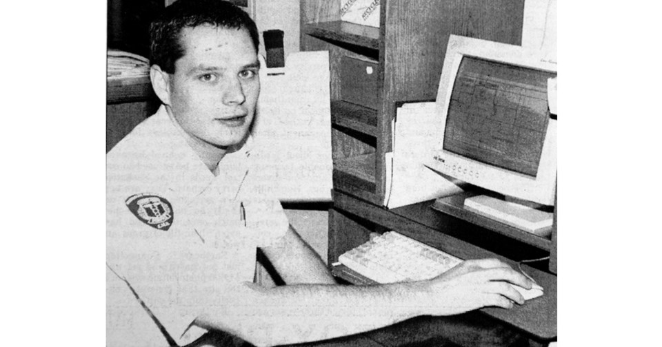
“We were very impressed with the accuracy of it – the way it could pinpoint locations,” said Derek Dagenais, a Humboldt Ambulance supervisor and advanced emergency medical technician (EMT).
The system is being designed by Grey Island Systems of Saskatoon. Signals from U.S. government satellites in the earth's orbit bounce off sensors in each ambulance, determining a precise location for each vehicle. The information is transmitted to a protected website accessible by the Yorkton dispatchers and local EMTs on laptop computers. The website has up-to-date maps of the Central Plains District, and ambulance icons appear in their exact location, even tracking speed and colour-coded to indicate whether the ambulance is carrying a patient or not
When a caller phones with an emergency, the Yorkton dispatch office or the local EMTs can type the land description into the computer and an arrow will instantly point to the location on the website's maps.
“From there you can look at the map and decide which the best route would be,” Dagenais said.
Data for the Town of Humboldt is still being entered into the program, but Dagenais said when that information is complete the ambulances will be able to locate precise addresses in town, too.
The computer will zoom into a particular area, showing streets and landmarks like churches, nursing homes and hospitals. Dagenais said it takes the guesswork out of finding a location in an emergency because EMTs can not only see the site on a map, but they can also see their own location in relation to it.
“We found it a little bit simpler than going to a paper map and tracking it down,” he said, adding that the computer maps can be updated regularly.
Dagenais said Humboldt Ambulance has never had a major incident where location has affected response time.
“But when it's a tough one to find, those few moments can make a big difference,” he said.
Once all ambulance services dispatched from Yorkton are on the GPS system, it will help to coordinate ambulances from other services that might be travelling near an accident.
“Right now it's hard to co-ordinate where everybody is to pinpoint accuracy,” Dagenais said.
There are six different services that pass through the Humboldt area on their way to and from Saskatoon. The GPS system will show exactly where these ambulances are at any given time and allow dispatchers to direct the closest vehicle to an accident site. The system will also make searching for missing people easier.
The designers are currently improving the system based on feedback from the pilot program, which involved only Humboldt and Yorkton.
“It's a very simplistic sys-tem. They tried to make it very user friendly and they have,” Dagenais said, adding that there were few downfalls.
“We found at times the system could be slow. This is due to downloading the maps from the website.”
That problem might be solved by putting the large RM maps on the hard drives, he said. Eventually, they hope to have the system set up so that the land location automatically shows when a call is made Its part of a move towards a 911 emergency system for the Area Dagenais said.